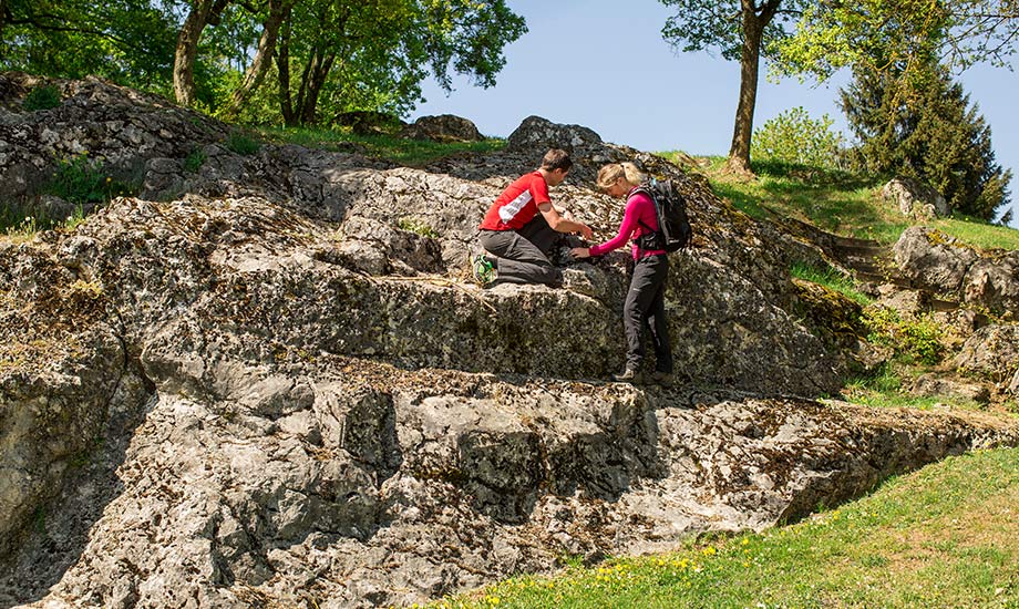
Neogene/Paleogene - Burdigal sea and cliff line
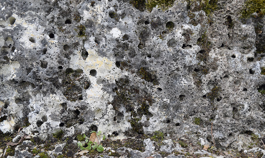
The Swabian Alb has been mainland since the end of the Jurassic period 142 million years ago. But in the Neogene/Paleogene period, the southern part of the Swabian Alb was once again flooded by a sea. The so-called Burdigal sea spread out in a depression between the newly formed Alps and the Jura Mountains. This major sea advance around 18 million years ago left behind the so-called cliff line, which represents the border of the mainland to the Burdigal sea at that time. The coastline of eroded Jura limestones can still be seen today in some places as a terrain step. Even a rock, the Heldenfingen Kliff, bears witness of this sea and show traces of drilling shells and the constant sea surf in form of a notch.
The cliff line can be traced from southwest to northeast across the entire Swabian Alb and separates the hill-shaped Kuppenalb in the north from the rather even landscape of the Flächenalb in the south. Since the cliff line is much higher today on the southwestern Alb (about 900 metres near Tuttlingen) than on the northeastern Alb (about 500 near Heldenfingen), it indicates like a spirit level how much the Swabian Alb has been uplifted and tilted since then.
Deposits from the time of the Burdigal sea have also been preserved. Since there were two marine forays where the sea retreated between, they are subdivided into Lower Marine Molasse, Lower Freshwater Molasse, Upper Marine Molasse and Upper Freshwater Molasse. The deposits of the Freshwater Molasse were deposited in lakes and rivers.