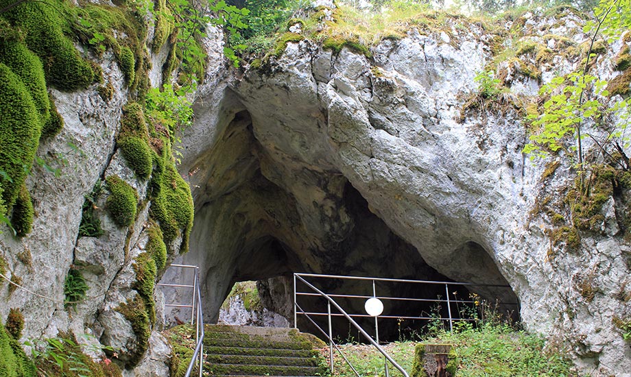
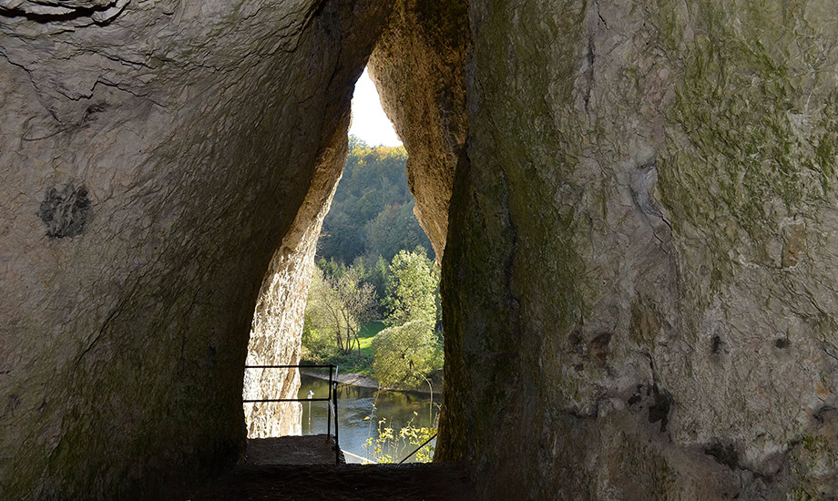
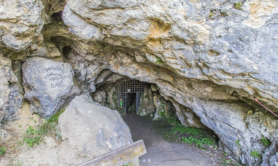
Mühlheimer Felsenhöhle
Cave with a far-reaching view
The cave Mühlheimer Felsenhöhle opens up about 120 metres above the valley floor of the Danube valley. The process of cave formation can be seen particularly well here:
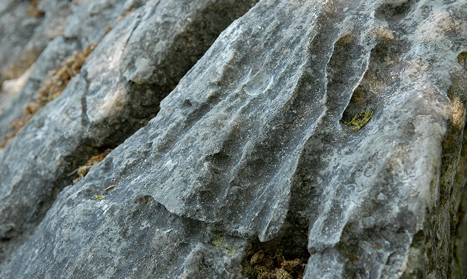
First, an underground cavity formed by solution processes at the karst water level. Due to the tectonic uplift of the Alb, the Danube had to burrow deeper and deeper into the limestone layers of the Alb plateau. Then, the cave fell dry and was finally exposed on the impact slope of the Danube.
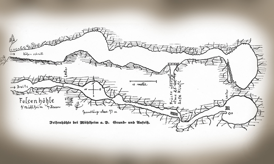
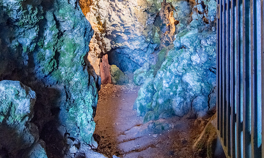
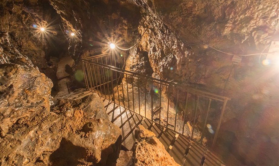
A special feature of the 134-metre-long karst cave are the partially snow-white stalactites and a natural sinter basin.
It was opened up by local speleologists as early as 1912. It is accessible to visitors only with a guided tour. During the cave festival on Ascension Day, the cave is traditionally open to the public. The path to the cave is only suitable for sure-footed hikers and leads through a nature reserve. It is therefore forbidden to leave the paths.
Tip: The cave Kolbinger Höhle is close by and can be reached with a short hike. It is a Geopark info centre.
Address
Mühlheimer Felsenhöhle
Mühlheim an der Donau
(Landkreis Tuttlingen)