New Geopoint in the Zollernalb district: The Hangende Stein near Albstadt-Onstmettingen
The UNESCO Global Geopark Swabian Alb is delighted to welcome another geopoint: the striking rock formation Hangender Stein near Albstadt-Onstmettingen has been officially inaugurated as a new geopoint in the Zollernalb district. This makes one of the most impressive natural phenomena on the Albtrauf visible and accessible to visitors.
Hangender Stein is already the fifth geopoint in the Zollernalb district, alongside well-known locations such as the Zillhauser waterfall, the Nusplinger Plattenkalk, the Dormettingen memorial trail, and the Museum im Kräuterkasten in Albstadt, which also serves as a geopark information center. In total, the UNESCO Global Geopark Swabian Alb comprises around 40 geopoints in ten districts, which bring geological features to life and serve as places of education and sustainable tourism.
At the new geopoint, bilingual information boards (German/English) provide details about the history of the Hangender Stein and fascinating geological background information. QR codes on the boards link directly to in-depth online content on the geopark website, transforming the site into a modern learning and experience center for all generations.
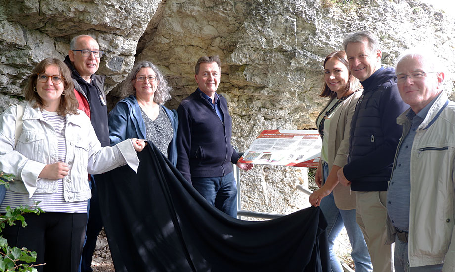
The inauguration ceremony was attended by guests from politics, administration, tourism, and science, including District Administrator Günther-Martin Pauli, Albstadt Mayor Roland Tralmer, Onstmettingen Local Council Chairman Jürgen Kurz, and Iris Bohnacker from the UNESCO Geopark, who oversees the “Geopoints” project as deputy managing director.
Landscape in transition: the retreat of the Albtrauf escarpment
The Hangende Stein is located in the Zollerngraben, a tectonic structure around 30 kilometers long with increased seismic activity. Despite tectonic subsidence, the graben is now higher than its surroundings—a typical example of what is known as relief reversal. This is due to the hard Upper Jurassic limestone, which protects the softer layers below from erosion. The approximately two-meter-wide fault line separating the rock from the neighboring Raichberg is impressive evidence of the forces that continue to shape this landscape to this day.
The rock's origins date back more than 150 million years: limestone sludge was deposited in the Jurassic Sea, which later became solid limestone. Over millions of years, uplift, faulting, and erosion shaped the landscape we see today—a vivid example of the dynamic development of the Albtrauf.
With its spectacular location, geological depth, and view of the surrounding countryside, the Hangende Stein is not only an impressive sight, but also an extracurricular learning location of particular value—ideal for teaching topics such as natural hazards, regional tectonics, and geomorphological processes.