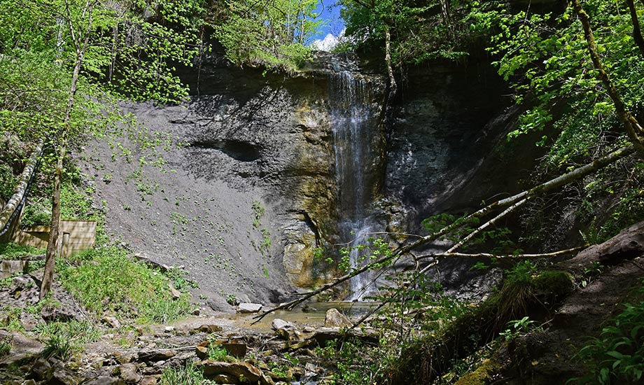
Zillhauser Wasserfall
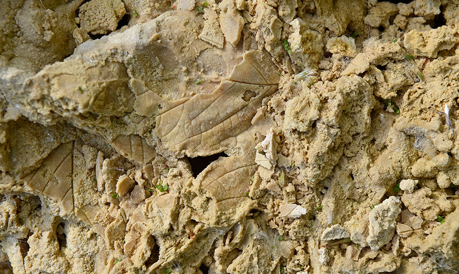
Layers of Zillhausen waterfall
At the Zillhauser waterfall, the river Büttenbach plunges from 26 meters to the ground. Very impressive: after nine meters, the water hits a rock step and continues in free fall.
The step was formed by the erosion of a typical sequence of rock layers, the so-called "waterfall layers". On the Alb escarpment, many waterfalls emerge exactly at this sequence of layers.
The sequence of rock layers differing in hardness was formed at the beginning of the Middle Jurassic about 177 million years ago. At that time, the conditions of deposition at the seabed - measured in geological scales - changed relatively quickly. The strata are exceptionally well visible in Zillhausen representing therefore a type locality, known in geology as the "Zillhausen Subformation". The trail GeoWanderweg explains the geology on site.
The Zillhauser waterfall is the third largest waterfall of the Swabian Alb.