History of the Alb in time lapse
The Swabian Alb has a varied history. Rocks and landscape forms are heralds from the past that tell us this story:
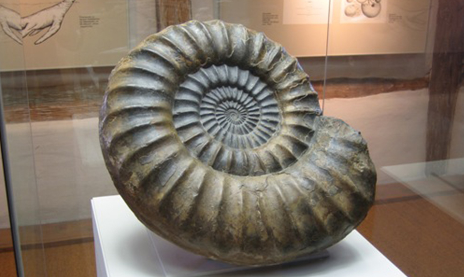
It all began in the Jurassic period. In the period from 200 million to about 142 million years ago, a tropical shallow sea stretched out where the Swabian Alb is today, covering a large part of Europe. The marine deposits (sediments) from this time form the rocks that build up the Alb today. Over time, the environmental and depositional conditions in this sea changed. This led to a change in the composition and colour of the sediments. The rocks from the Lower Jurassic, Middle Jurassic and Upper Jurassic can thus be divided by colour into Black, Brown and White Jurassic:
The Lower Jurassic represents the oldest rocks. It is world famous for its wonderfully preserved dark fossils from the Posidonia Shale. In the Middle Jurassic, clays and reddish brown and yellow sandstones with high iron content were deposited. Sponge reefs characterized the sea in the Upper Jurassic. Fossil reefs and lime muds, which accumulated on the seafloor at that time, provided the material for the light-coloured limestones, which form the plateau of the Alb today.
From the now following Cretaceous period (142 - 65 million years ago) no stone evidence is preserved on the Swabian Alb. Presumably, the area was mostly continental and existing rocks were eroded. Temperatures were high. As in other parts of the earth, dinosaurs probably lived here - unfortunately, nothing has survived of them.
In connection with the formation of the Alps, the area of the Swabian Alb began to uplift and tilt slightly to the southeast from the end of the Cretaceous period. These tectonic processes reached their peak in the Tertiary.
Also during the Paleogene and Neogene Period (65 - 2.6 million years ago) the Swabian Alb was mainland except for a short marine episode. Subtropical temperatures prevailed. Rocks of the Jurassic period were further eroded and pierced by volcanic vents. Especially in the area around Urach and Kirchheim one can still find stone evidence of the volcanism of this time. About 15 million years ago a meteorite hit Steinheim and left a crater that is still visible today. A second, much larger meteorite left behind the Ries crater, separating today's landscapes of the Swabian and Franconian Alb.
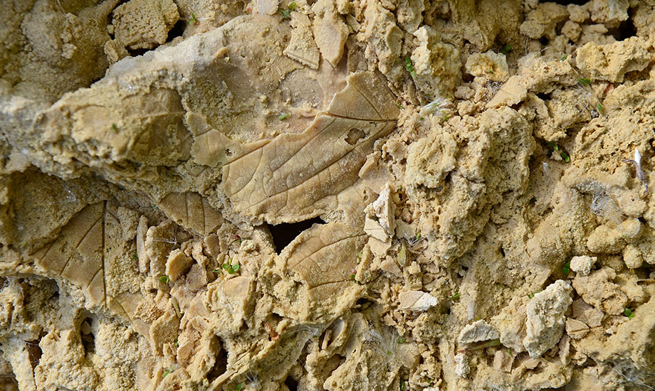
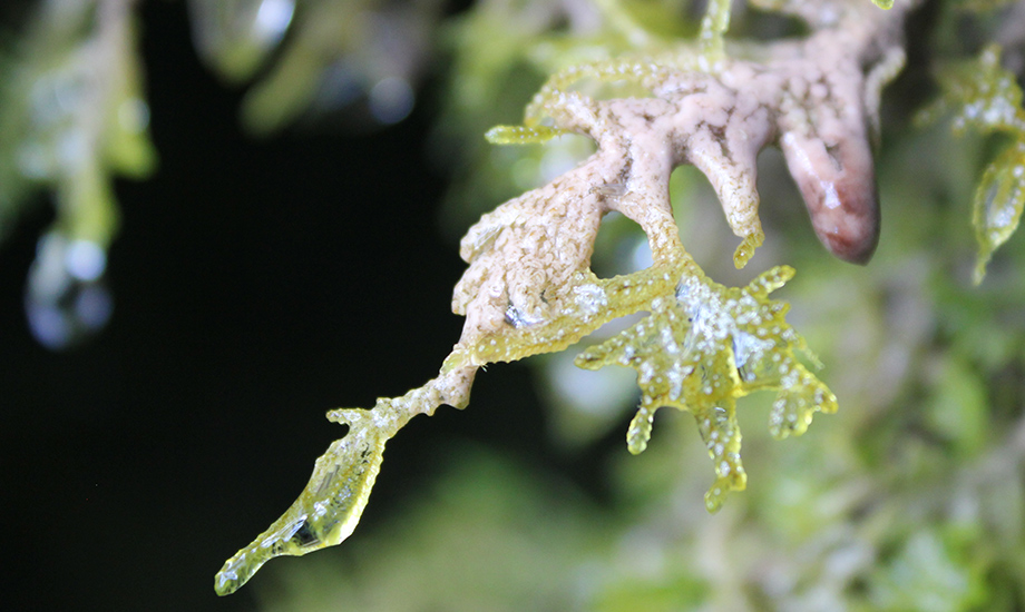
Finally, in the Quaternary, the era of the ice ages, today's landscape was born. Karst forms such as dry valleys, caves and sinkholes, karst springs, waterfalls and deeply incised valleys with rugged cliffs give the Alb its unmistakable face. According to the current state of science, the formation of most caves probably began at the transition from the Neogene to the Quaternary. Even in the most recent period of the Quaternary, the Holocene since about 12,000 years, the Alb continues to change due to the interaction of water and the soluble limestone. This process continues to this day. At some springs, we can watch the youngest rock of the Alb, lime tufa, growing. The influence of man is also becoming increasingly visible in the landscape.
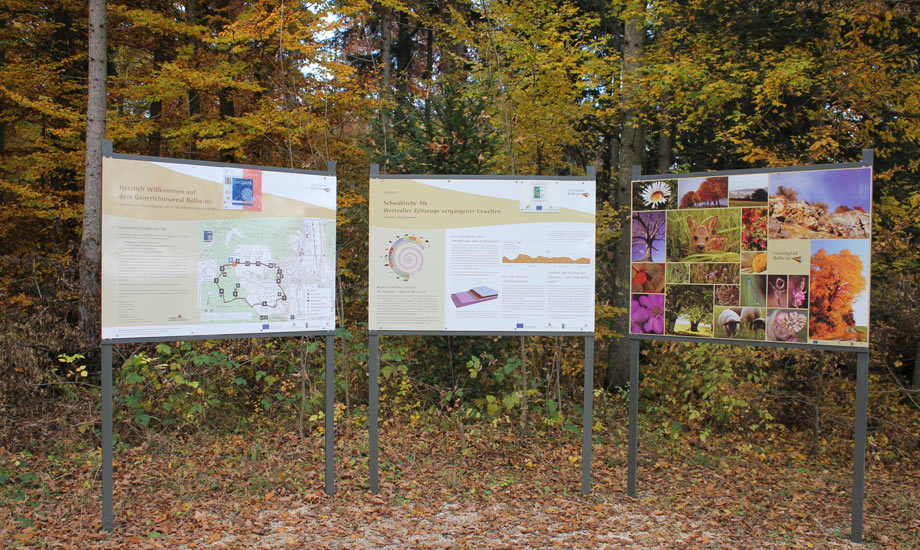
Geopoints lead to specific places in the Geopark that represent sections of this history, making a visit to the Alb a “Journey into Earth’s history”.